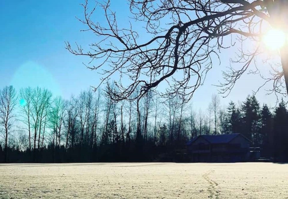
Residents of Metro Vancouver are in for at least a few more days of bitter cold thanks to an air mass visiting from the Arctic.
Overnight temperatures will fall to near -5°C to -10°C a recent Environment Canada special weather statement reads. Temperatures will moderate during the day but will remain below seasonal normals.
These cold temperatures combined with light easterly outflow winds will result in wind chill values near -10°C to -15°C the statement continues.
"There is also a chance of light flurries this evening as a weak weather system moves across the south coast. No snowfall accumulation is expected," the federal forecaster states.
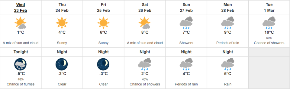
There is a light at the end of the tunnel though as a gradual warming trend is expected to start on Thursday.
The areas affected by this system include the City of Vancouver, Burnaby, New Westminster, West and North Vancouver, Coquitlam, Maple Ridge, Surrey, Langley, Richmond and Delta.

.jpeg;w=120;h=80;mode=crop)
