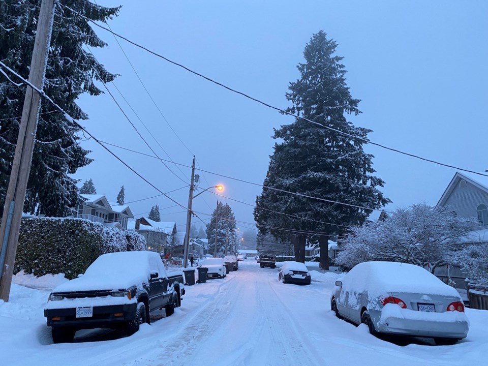
Yes, New Westminster, it's that time of year again — when we're ready for spring but Mother Nature decides it's time to give us a little late-season winter weather instead.
New Westies woke up to a cool and breezy morning today, in the aftermath of last night's wind warning. But it'll get colder before it gets warmer, as the entire Metro Vancouver region is expected to head into the freezing zone starting tonight.
Today is expected to be fairly pleasant, with a chance of showers and a high reaching 8C as some sun peeks out this afternoon, the Weather Network projects.
Tonight we may see lows dip to -1C, but feeling more like -6C thanks to northeasterly winds.
Then comes the first possible snow of the week, as the forecast calls for some scattered flurries tomorrow (Wednesday, Feb. 22), with temperatures remaining at -1C and a windchill of -6C.
Thursday's temperatures will be similar (0C, feels like -5C), but the sun will come out for a couple of days to take us into the weekend — when, yes, the snow may hit us with a little more force. The Weather Network is projecting as much as 5 to 10 cm of snow on Saturday, and 2 to 4 cm on Sunday.
Follow Julie MacLellan on Twitter @juliemaclellan.
Email Julie, [email protected]


