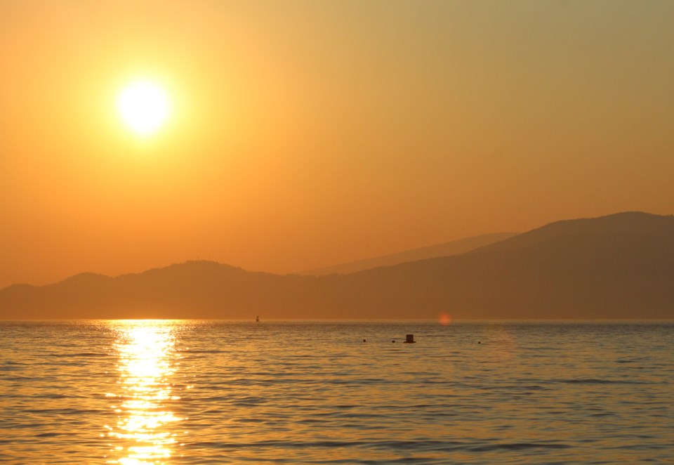
Sandwiched by heat waves with a dry streak running through the entire month, July 2021 was not anywhere near typical for Vancouver.
First, the heat. Records measure the mean temperature throughout the entire month, day or night, says Environment Canada meteorologist Bobby Sekhon.
"In terms of the records, July 2021 ranks pretty high compared to any month," he says.
That's maybe a bit of an understatement; July was the second-warmest month on record in Vancouver. Not just compared to other Julys, but all time. The daily mean average was 19.7 C, Sekhon says, second only to July 1958, when the average was 20.6 C. Both averages are significantly higher than the overall July daily average, which sits around 18 C.
"The heat at the end of June, the effect of it trickled into July," he explains. "But also, almost a month later we had another heat wave; not as intense, but enough to trigger heat warnings."
"It's the second consecutive month ending in heat warnings," he adds.
The warmest August on record, which also averages around 18 C, is 19.3 C. Sekhon explains that since it's an average and the weather station is at Vancouver International Airport which lies next to the ocean, big differences aren't expected.
"1.7 C (more than average) at YVR, near the ocean, that's pretty significant," he says. "We're not going to have as wild fluctuations near the water because it acts as a moderator."
At the same time, the long dry streak in Vancouver (which started on June 16) and continued through July means it tied for the driest month on record. While it's the driest ever, that happens more often.
"There have been a few years here where it has been 0 mm in July," Sekhon says. "2013, 1985, 1951, 1922, 1896."
However, it's still unusual.
"It's pretty exceptional," he says. "We normally get about 36 mm in the month of July."
He notes that trace amounts of precipitation have been recorded, and some parts of the city may have seen more than other areas.
"I had a couple of drops on my windshield Saturday but it wasn't quite enough to be measurable at the airport," Sekhon says.
The dry streak is the third-longest on record, and it may reach second, but he thinks it'll fall short of the longest ever.
"There's a chance of showers on Thursday night into Friday," he says. "That's looking like a better chance for measurable rain."
On Saturday another system may bring measurable rain as well.
However, beyond that he notes "summer is still on." August and September are expected to be above average, according to long-range models, and mid-term models expect more heat coming up soon.
"We are seeing signs of potential heat returning next week," Sekhon says. "A ridge of high-pressure is building back in. It's still over a week away, that's going to be something we're tracking for mid to late next week."


