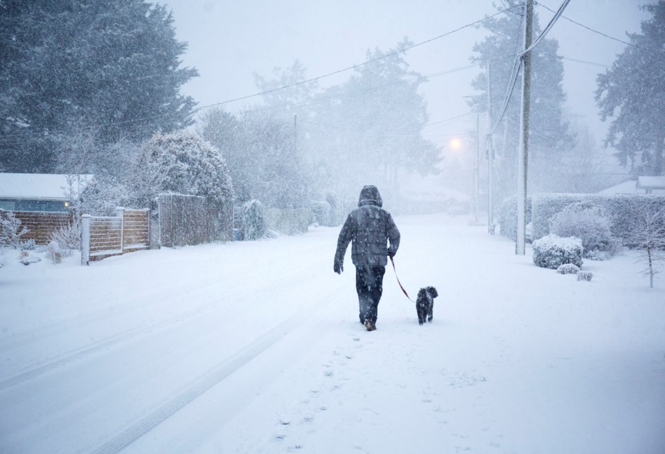
Environment Canada warns commuters about snowfall ahead of rush hour that could have a "significant impact" on Tuesday (Feb. 27) commutes.
Meteorologist Lisa Erven told V.I.A that the storm is "sliding down the coast" and will start as "light and patchy" rain before it switches to mixed precipitation around 3 p.m.
Once the precipitation commences, it is expected to continue as snow or wet snow through the evening and into the night before transitioning to "moderate or heavy rain" around midnight.
Snowfall amounts will likely vary across the region based on elevation and proximity to the water. Locals may see anywhere from 2 to 5 cm of snow accumulate before it transitions to rain overnight.
The one caveat is that "heavier periods" of snow may fall, causing a quick accumulation of a larger amount, Erven noted.
Places outside of Metro Vancouver, including places in the eastern Fraser Valley such as Hope and Chilliwack, may see snowfall accumulations of up to 10 cm. There is also a risk of freezing rain in these areas.
Environment Canada warns that there may be a "significant impact on rush hour traffic in urban areas."
Metro Vancouver weather following the snowstorm
Moderate to heavy rain is expected to continue through Wednesday and ease to a few showers in the evening as the storm dissipates. Total rainfall amounts of 20 to 40 mm are expected.
The atmosphere will remain unstable heading into the weekend and some thunder and hail are possible.
Erven said temperatures will be near normal or a few degrees cooler through the weekend, with daytime highs falling to around 5 C. The seasonal average for this time of year is closer to 9 C. Overnight lows will be closer to typical temperatures, with lows around 1 C to 2 C.
Locals who plan to travel outside of the Lower Mainland face inclement weather B.C.-wide.
"The storm system has a fairly large impact across the province and there are warnings on the Sea to Sky and other highways," she explained, adding that a winter storm watch has been issued for the Coquihalla.
Environment Canada recommends drivers avoid travel if possible on some mountain highways during the B.C. storm.
Drivers should expect hazardous conditions on mountain passes as weather may change rapidly and heavy snowfall can "suddenly reduce visibility."
Stay up-to-date with hyperlocal forecasts across 50 neighbourhoods in the Lower Mainland with Weatherhood.


