VANCOUVER — Snowfall warnings have been issued for parts of British Columbia's inner south coast as much of the province shivers through a deep freeze — and forecasters call for the coldest day, yet.
Environment Canada is warning of heavy flurries dumping as much as five centimetres of snow on Vancouver Island between Courtenay and Campbell River, as well as a section of the Sunshine Coast.
The weather office says rapidly accumulating snow could make travel difficult in some locations, but it says conditions should stabilize as another system approaches Thursday.
Extreme cold, arctic outflow and special weather statements cover B.C. from the northeast corner all the way south to the United States border.
Forecasters warn of wind chill values that could make it feel as cold as -45 C in some areas, while stretches along the Yukon boundary will feel even colder.
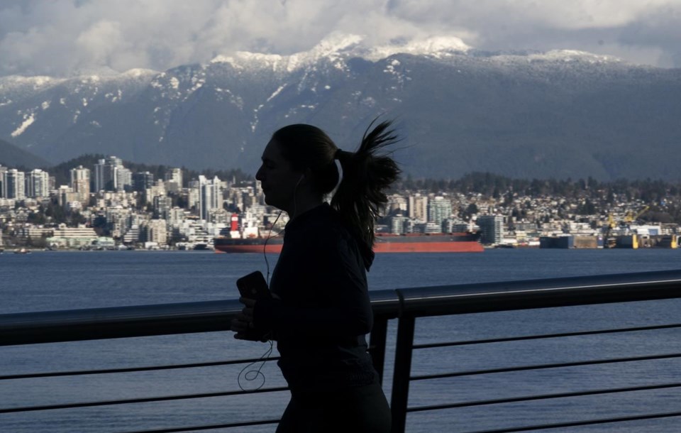
Victoria, Metro Vancouver and the south coast will see temperatures 10 to 20 degrees below the seasonal average and forecasters warn some parts of the region could feel as bitter as -25 by early Thursday due to the wind chill.
Frigid temperatures and arctic outflow winds should ease by the weekend over sections of the south coast, but Environment Canada also calls for periods of snow in the same areas by Saturday night before rain returns next week and the chill relents over the rest of B.C.
This report by The Canadian Press was first published Feb. 10, 2021.
The Canadian Press


