VANCOUVER — British Columbia has reached the peak window of spring snowmelt, but experts say the dangers of flooding will persist for weeks with record snow in the mountains and unstable weather in the forecast.
Dave Campbell, head of the River Forecast Centre, said they believe the freshet runoff into rivers and lakes has reached its height, but is expected to continue melting for the next two weeks.
"This is the time of year where the province is exposed to increased risks as that snowpack that's built up over the mountains melts off," he told a news conference Friday.
The delay in snowpack melt this year means a greater risk of flooding will persist into July, he said.
Armel Castellan, a meteorologist with Environment Canada, said the forecast for July shows drier and hotter conditions for the province.
"We don't see a signature for a big or strong heat event in the next couple of weeks," he said. "But the chances of seeing heat in July are obviously increased. And we could at that point get into more, longer lasting heat events, particularly in the second half of July."
Campbell said the hot weather scenario remains a "key concern" for flood risk after record snow fell this season and was late to melt, with a continued challenge of "ongoing, unsettled" precipitation in the short term.
Parts of the province are vulnerable to flooding as rivers and lakes swell with snowmelts from mountains around this time of year, he said.
"We also expect that given the delay in snowpack melt this year we are going to continue to see elevated streamflow and above-normal conditions persisting into July."
The snowpack is melting slowly and is only halfway through right now, Campbell said.
"In those mountainous areas, the snowpack remains significant enough to provide ongoing risk to flooding, particularly in the higher-elevation terrain."
Environment Canada has issued severe thunderstorm watches for east Columbia, east Kootenay and Kootenay Lake regions with conditions capable of producing strong wind gusts, large hail and heavy rain.
Ian Cunnings, executive director of Regional Operations for Emergency Management B.C., said it's important for people to pay close attention to the weather and warnings, and be prepared to leave at short notice.
He said there about 580 people whose homes have been placed under evacuation alert, meaning they may have to leave at a moment's notice.
“As of today, there are no evacuation orders in place,” Cunnings said. “That said, there are continued risks still ahead of us.”
The Central Okanagan Regional District issued a warning Friday that Okanagan Lake was three centimetres above full pool and was expected to rise into next week.
“Residents who live in areas that are prone to flooding are asked to take precautions to protect their properties,” the district said in a news release.
High winds are in the forecast Friday and another spring storm is expected to bring more rain Saturday, the district cautioned.
Sandra Follack, the district’s emergency program co-ordinator says its mitigation efforts along creeks and the lakeshore over the past few years are working to reduce the impacts of high-water.
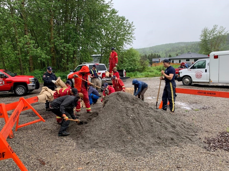
“This has allowed our crews to focus the installation of temporary flood protection measures, like sandbags and pumps, in key areas."
The flood warning for the Laird River and its tributaries around Fort Nelson, Highway 97 and Watson Lake in northeastern B.C. has remained in place since last week.
Flood watches are up on the central coast, Quesnel River and the north and south Thompson rivers.
High streamflow advisories are in place for the Peace River basin, the northwest corner of B.C., and the east and west Kootenay regions.
This report by The Canadian Press was first published June 17, 2022.
Hina Alam, The Canadian Press